Know your place.
Understand the change.
Water levels, coastal tides, home and work resources. Find the fact you need—and the context that makes it useful.
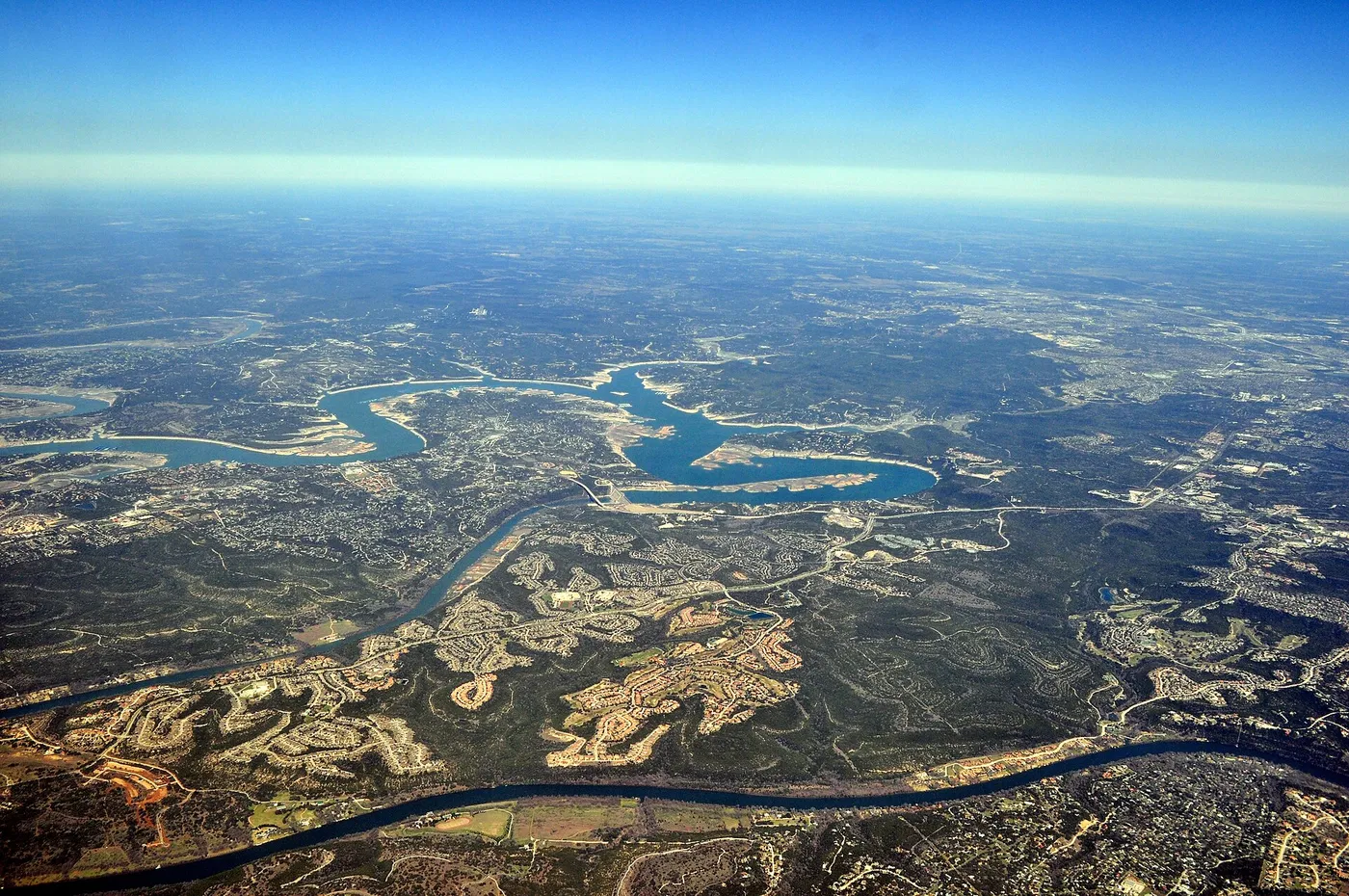

A closer look at conditions.
Lake Travis
674.77 ft elevation · -0.80 ft over seven days
.jpg)
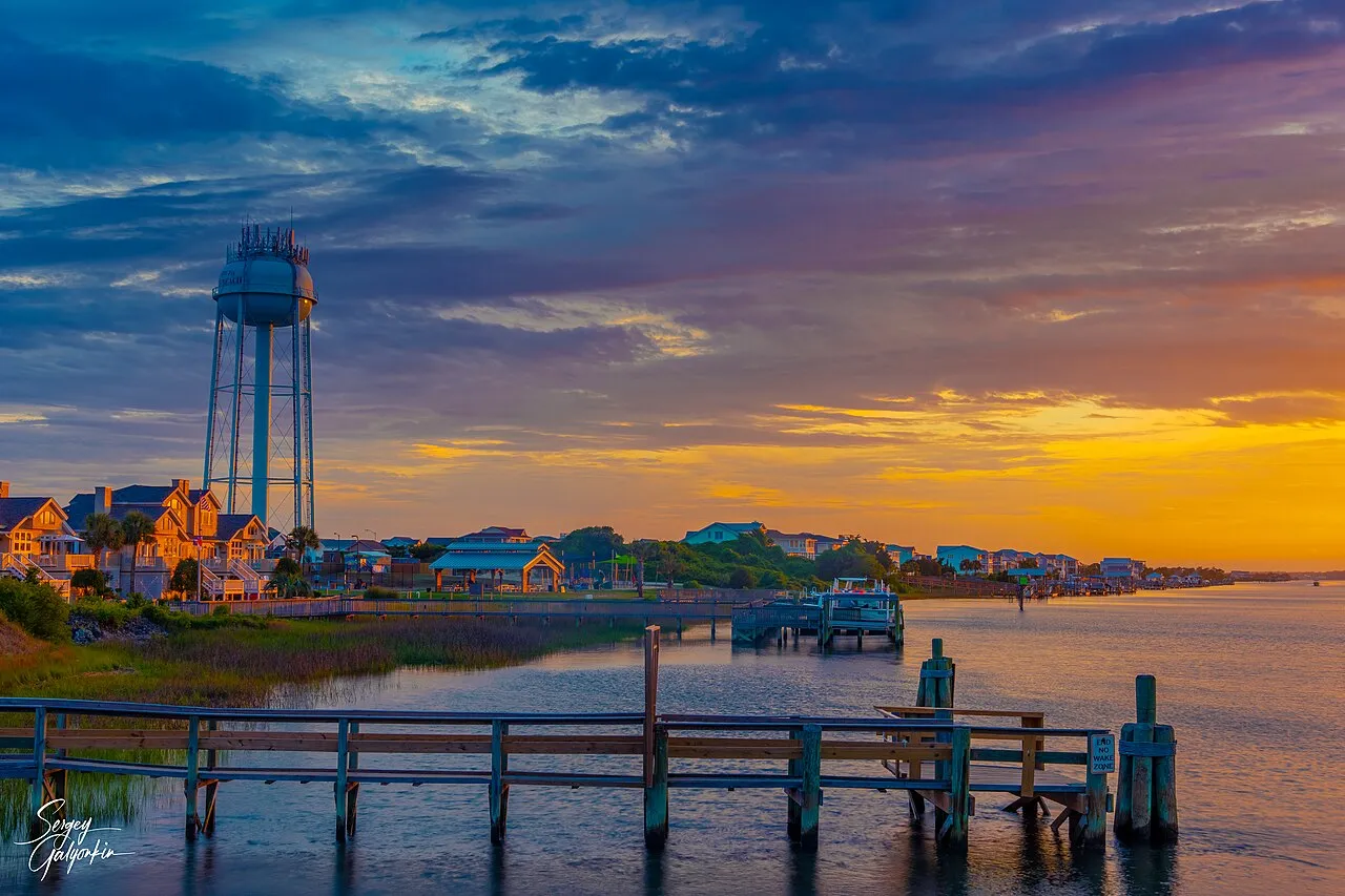
Make time for the tide.
Holden Beach predictions, station context and a day-by-day planner. →
The places you come back to.
Your places, one easy check.
Save a lake, beach or river gauge to find it here next time. Stored in this browser; no account needed.
Find a place →Useful answers, across everyday life.
10 topics. A shared commitment to sources, dates and clear explanations.
Lake levels
Storage, elevation and recent change.
Tide charts
Plan around high and low water.
River gauges
Find the right station for your stretch.
Drought trends
Compare dated county-area drought trends near featured lakes.
Radon zones
Understand the county behind a ZIP area.
Flood maps
Find an official FEMA map and read its zones with care.
GS pay
Grade, step and locality, clearly explained.
Electricity costs
Estimate appliance use and compare published state averages.
Burn bans
Find the issuing authority and current order.
Hail records
Explore reports with dates and source context.
There’s a story behind the number.

How to read a NOAA high and low tide chart
A station, a time zone and a datum make the table meaningful.
Read the guide
EPA radon zones versus a home test
A county-level potential category cannot measure the air inside a home.
Read the guide
SPC preliminary reports versus NCEI event records
Choose the dataset that matches the time window and the question.
Read the guideEvery useful answer
should have a trail.
Follow a reading back to its agency. See when it was collected. Understand what it can tell you, and where another check is needed.
How Public Atlas works →Read the data notebook →See what changed →Open the resource shelf →